Mapping is a progressive business for me. I can't sit down, draw a bunch of lines, sprinkle mountains and rivers over it and then draw circles where I want cities to be. Well, I could, but it would be meaningless. I've tried, and have a lot of trouble defining my world
after the map is drawn.
My map-drawing goes hand in hand with the worldbuilding. I imagine kingdoms/countries and their relations to one another. I know which are bigger, which are more military, which should have what kind of climate. They aren't drawn, but I have an end goal in mind. I also know my major storyline locations, and have a good idea of where they must be located (one relative to another, at any rate).
Then I sketch. Sketching maps is perhaps the only art-sy thing I can do. It was made even easier with my touchscreen laptop. Now I sketch straight into Paint. (yes, Paint. I don't have nor need anything else)
So, let's have some pictures. I am admittedly proud of my maps.
 |
| First sketch! |
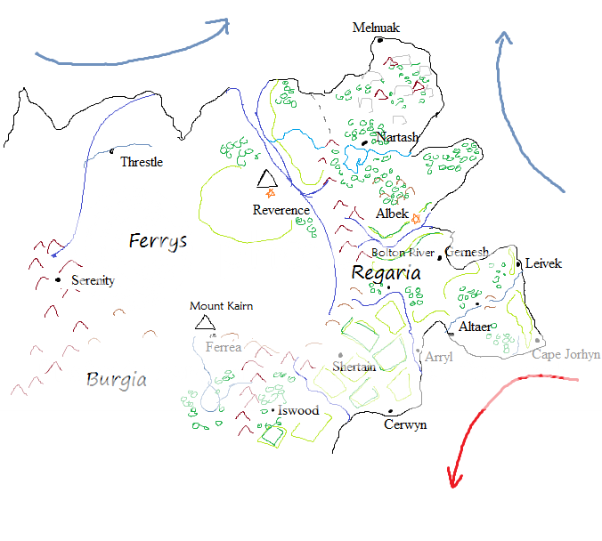
Everything with a name on there is important plotwise. Once I had that map, I took a closer look at each country. I always have a good idea of what must go in each and how I want the map to unfold, but the actual drawing, to me, is
setting in stones these details. It means I have something solid I can reference to in the novel.
 |
| I started with Regaria |
It was at that point that I realised that for the balance of power to
really make sense in the novel, I'd need more than three countries. The plotter in me facepalmed hard, ranted inwardly that I should've done all that before I wrote the latest draft, and I ignored it. No point in beating myself over it.
I went ahead, added two new kingdoms and finished the lines around this continent.
From that point it was mainly a matter of adding the details that were in my notes. Drawing maps to me is part basic geography knowledge (and I really mean basic. I'm not a geography buff at all), part imagination in order to create unique locations, part historical logic. There's a couple of rules and tricks I set for myself when I draw.
- Pay attention to your mountain ranges. They should follow a certain tectonic plate logic.
- Rivers flow from higher ground into the ocean (or lower ground, if you have some place below the sea's level).
- Most important cities will be near a waterway. Population is likely more concentrated in such areas too.
- Water currents, hot and cold, have a major impact on climate.
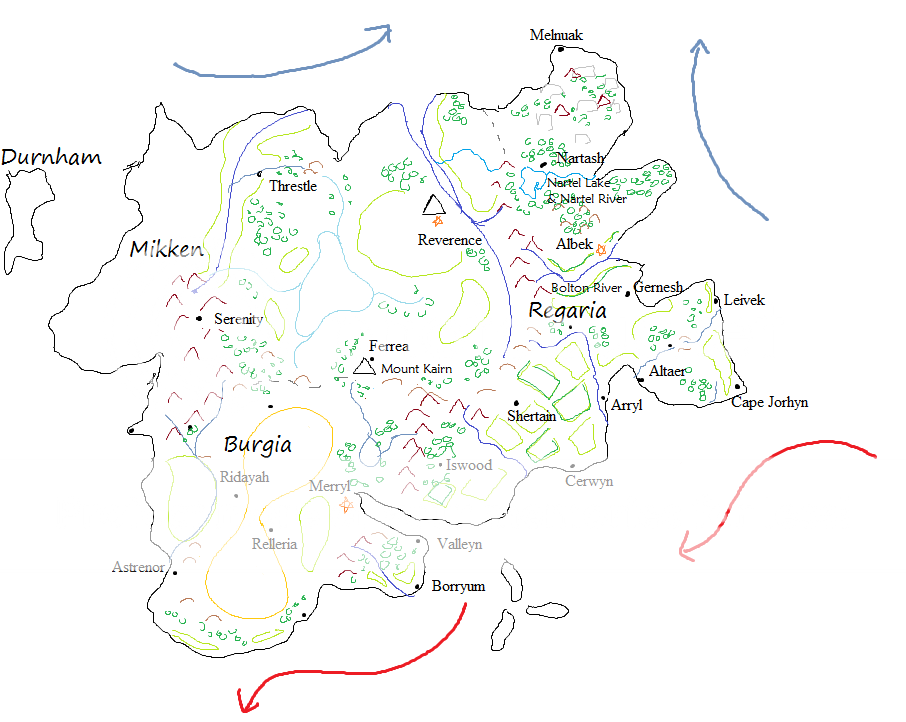
The end result of all this map-drawing fun was this:
 |
| TADAM! (And I just realised my cold water current lines are wrong. OOPS) |
It is, in truth, still missing details in Mikken and Durham. I'll have them before I launch another rewrite. Just in case.
And now it's your turn!
Do you have any tips for maps? Where do you start yours?